A civil engineering and land surveying firm serving upstate New York for over 30 years — both disciplines, one team, every project.
McMahon LaRue Associates, P.C. is a civil engineering and land surveying firm serving Monroe, Wayne, Ontario, Genesee, and surrounding counties in New York State. Founded in 1995 by Gregory W. McMahon, PE, and Alfred I. LaRue, PLS, the firm has built a reputation for accurate, practical, and client-focused engineering and surveying services across a broad range of project types.
Today, MLA is led by principal owners Ian F. Kuchman, PE, and Bryan J. White, PLS, with the continued involvement of the founding principals. The firm combines decades of local knowledge with modern tools — including drone-mounted LiDAR, HEC-RAS 2D hydraulic modeling, and Carlson Civil Suite — serving private developers, municipalities, utilities, and institutional clients throughout the greater Rochester region.
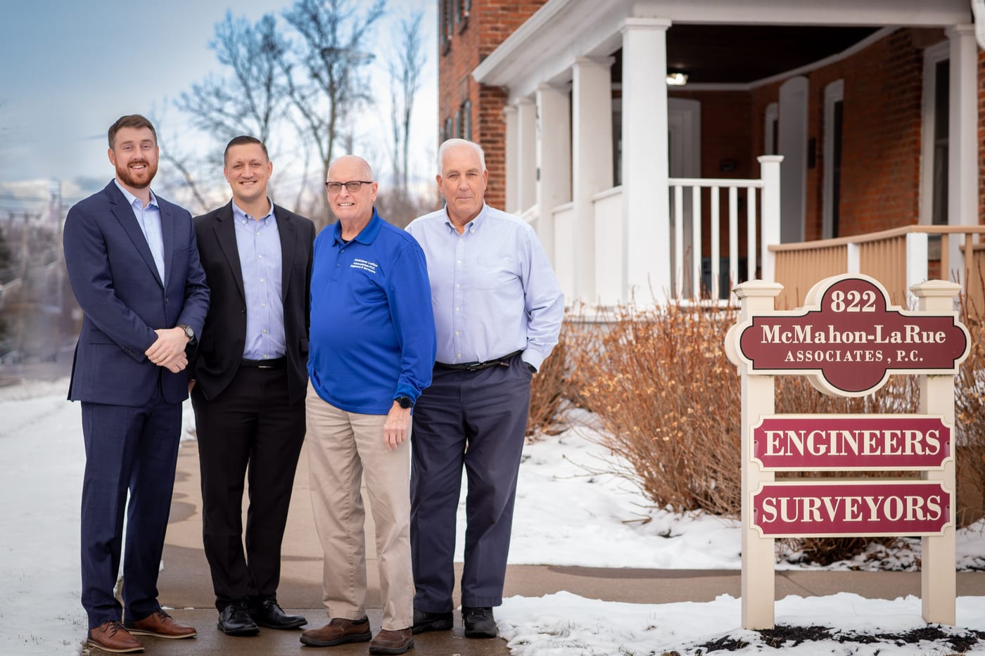
Past & Present Principals — Webster, NY

Managing Principal · Civil Engineer
18+ years in civil engineering with a focus on site development, permitting, and entitlement. Leads the firm's engineering practice and municipal approval coordination.
BS Civil Engineering — Clarkson University
MBA — Liberty University

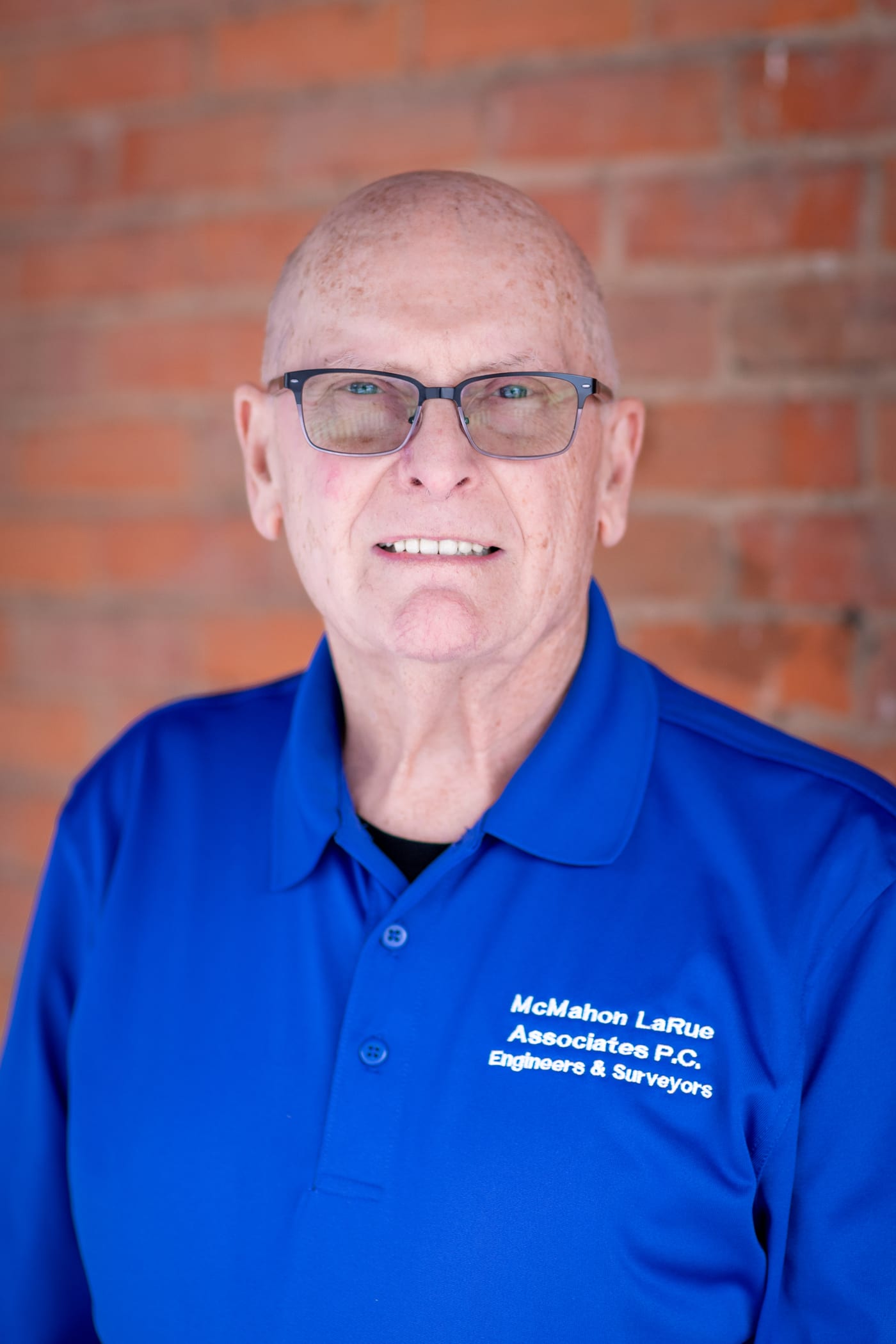
Principal · Survey Department Manager
13+ years of land surveying experience specializing in boundary mapping, subdivision, and drone LiDAR aerial surveys. Oversees all field operations and advanced survey technology.
BS Surveying Engineering Technology
SUNY Alfred State College

Founding Principal · Civil Engineer
Co-founded McMahon LaRue Associates in 1995. Decades of civil engineering practice across commercial, residential, and municipal projects throughout upstate New York.
BS Civil Engineering — University of Vermont
Class of 1972
Founding Principal · Land Surveyor
Co-founded McMahon LaRue Associates in 1995. A cornerstone of the firm's surveying practice with a career spanning boundary, topographic, and subdivision work across the region.
BS Forestry — SUNY Syracuse
Class of 1964 · Licensed 1971
30 years of projects across Monroe, Wayne, Ontario, and Genesee counties. We know the agencies, the terrain, and the path to approval — before a project ever starts.
Both disciplines under one roof. No hand-offs, no gaps — survey and engineering advancing your project together from day one through construction clearance.
Drone-mounted LiDAR, HEC-RAS 2D hydraulic modeling, and Carlson Civil Suite — backed by decades of practical field experience and local institutional knowledge.

Whether you're breaking ground on a new development or need a survey for a real estate transaction, we're ready to help. Let's talk.